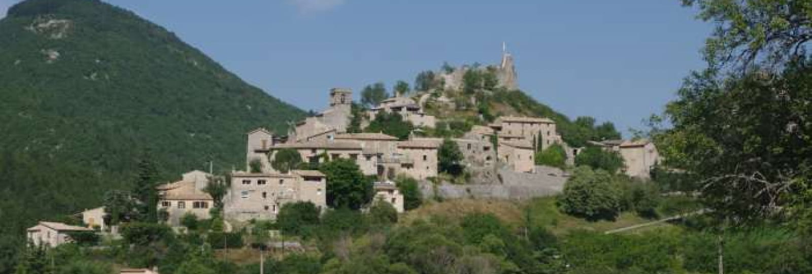
Reilhanette
At the confluence of the Anary and Toulourenc rivers, surrounded by hills and dominated by the ruins of its castle and Mont Ventoux, the medieval village of Reilhanette is less than two kilometers west of Montbrun-les-Bains.
A strategic site in the Middle Ages, from which to monitor the Toulourenc valley, centuries later it was one of the two Fire Control Posts for the French nuclear strike force, which was then based on the Albion plateau.
To discover the village on site :
From the parking lot in front of the town hall, follow the departmental road towards the village. Cross a square with a fountain.
1- At the first crossroads, take the right-hand lane rising towards the château. Wind between a few houses until you reach the esplanade and the feudal ruins.
2- Make a U-turn and turn right at the first crossroads in the direction of the church. After a few hairpin bends, you come to the porch and entrance to the church.
3- Continue along the calade to rue de la place below. Pass in front of a majestic tree, then descend the staircase just behind it. End up on the village's main road, with the view in front of you.
4- Follow this road to the left for over 200m, until you reach the parking lot in front of the town hall.
Further information
Télécharger les médias
Through Office de Tourisme des Baronnies en Drôme Provençale

