Rottier
Ajouter au carnet de voyage
- Distance10,8 km
- Duration3h30
- TypeCircular
- DifficultyModerate
- Total altitude change+ 450 m
- Departure/arrivalRottier
- Route markingYes
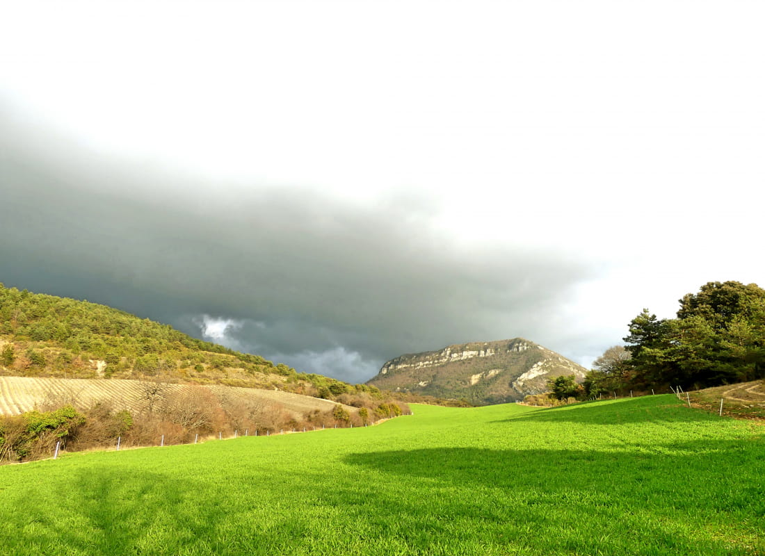
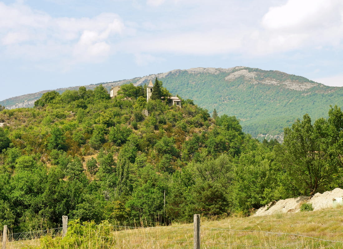
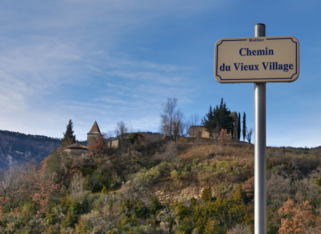
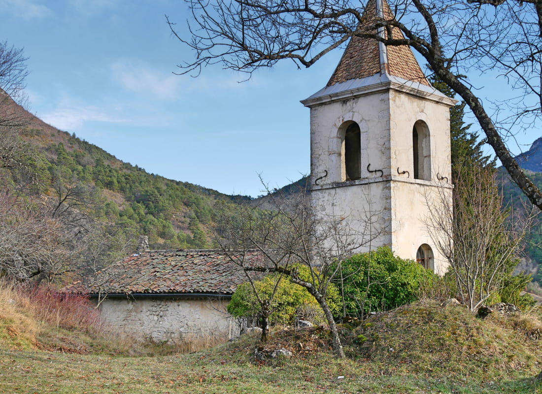
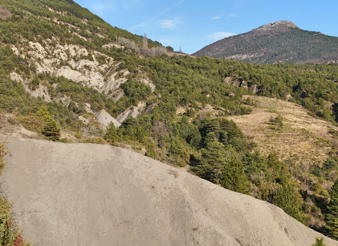
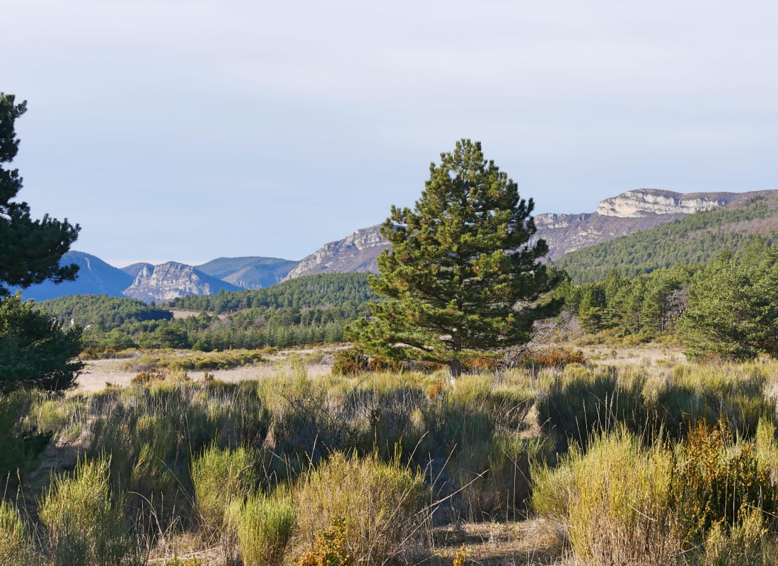
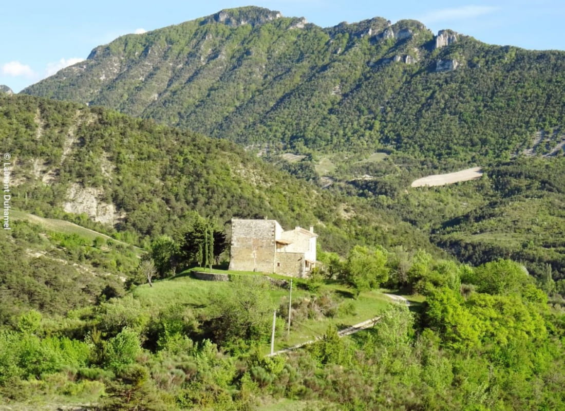
A hike where the evolution of the valley can be seen right in the landscape: a forgotten village perched too high up between marl and broom, with its church, medieval tower and chapel, and new settlements scattered around the valley...
- AddressMairie
26470 Rottier - Phone04 75 22 03 03
- Emailcontact@diois-tourisme.com
- WebsiteSee the website
Our tips
- Details about route marking :
Balisage jaune (PR). - Difficult stretches :
Passages marneux, devenant boueux par temps de pluie entre Rottier et la colline de la Guardette et dans la montée du vieux village. - Références topographiques :
Topoguide "Le Diois à pied - Aux sources de la Drôme" de la Fédération Française de Randonnée. - Map references :
TOP 25 IGN 3138
Drôme Tourisme cannot be held responsible for any problems encountered along the route.
Any problems encountered can be outlined here:
Author: Conseil Départemental de la Drôme - Apidae Tourisme
To show the map
0M
0M