Sentier VTT L'Enclave des Papes - 3
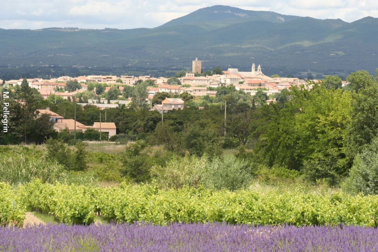
This easy trail takes you on a discovery tour of the Enclave des Papes, where you'll come across lavender fields, vineyards and the village of Grillon.
Playful paths take you into view of Valréas, then to the banks of the river Lez, where you cross a ford.
If the river is in flood, an alternative route is possible.
You'll reach Grignan via the vineyards, with a view of the château!
Departure point: Car park in front of Espace Sévigné (Salle des Fêtes),
Allée du 11 Novembre.
Distance: 27 km
Average time: 2h30 to 3h
Elevation gain: + 207 m
(min 156 - max 252 m)
Difficulty: BLUE - EASY
- AddressAllée du 11 Novembre 1918
26230 Grignan - Phone04 75 46 56 75
- Emailinfo@grignanvalreas-tourisme.com
Our tips
- Details about route marking :
Balisage 3 Bleu
Niveau Facile - Difficult stretches :
Plusieurs passages et traversées de routes passantes. - Map references :
Carte IGN 3039 ET et 3038 SB
Drôme Tourisme cannot be held responsible for any problems encountered along the route.
Any problems encountered can be outlined here:
Author: Conseil Départemental de la Drôme - Apidae Tourisme

