Sur les chemins de la Clairette - Sous les Trois Becs
Pedestrian sports, CourseAfter passing an area of wooded hills, you disembark on an island devoted to Clairette de Die. A terroir that superbly illustrates the geographical reality of our appellation, which thrives in the valleys.
How to get there:
From the Saillans west roundabout, take the D93 towards Die for 400 m, then the first road on the right towards Saint-Sauveur-en-Diois. After 1.5 km, turn left onto the D579, which leads to Saint-Sauveur.
Walking guide:
From the church, go up the small road that passes the large cross, turns left and then slips between the houses to leave the village. At the fork in the road, turn left in the direction of Les Mouyons (or Saint-Sauveur; you can make a 15-minute round trip up to the calvary to enjoy an extensive view of the Glandasse mountains, the Drôme and Quint valleys, the Rochers de Cresta, the Crest tower... Then turn right for 50 metres, then take the first track on the right).
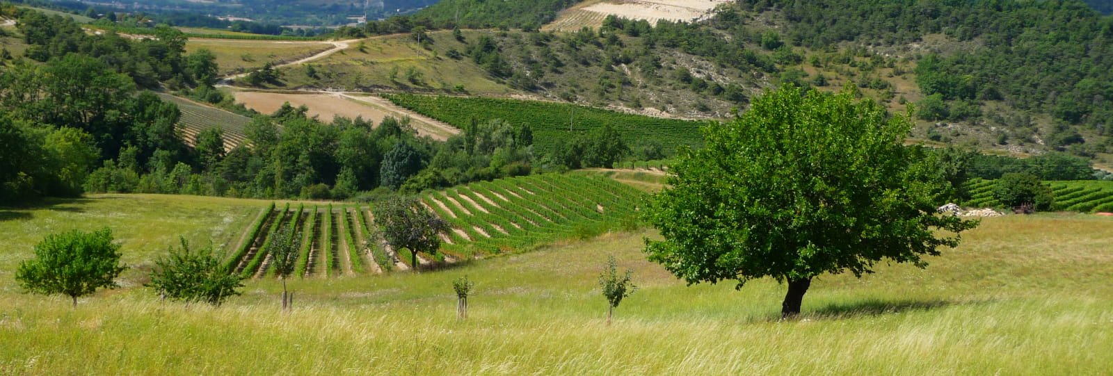
Vineyards, meadows and hamlets follow one another along this little road, which offers a fine view over the crests of the Forêt de Saoû as far as the Roche Courbe, the most northerly of the "Trois Becs". The road climbs up to the hamlet of Mouyons, which it bypasses at the top to become a carriage road. After a hairpin bend, the track, lined with orchids in spring, offers beautiful views of the summit of Glandasse, the tapering blades of Rocher de Cresta and the reverse side of Roche Courbe. It then descends around the hamlet of Les Merlets before crossing the Lioneton stream on a stone bridge. Continue downhill. You cross a second stone bridge to reach a vineyard. The track becomes a road. You pass a stone cottage. Less than 150 m further on, take the path that descends to the left at the lowest point of the vineyard, then descends again to cross the stream. Climb back up to the vineyard, where you turn left along a wide path that soon reaches the ridge of a marly greenhouse, bordered by southern vegetation (scorpion's broom, Montpellier aphyllantes, thyme, lavender).
Continue along the track, which skirts a series of marly bulges overgrown with Scots pine, passes well below the hamlet of Mouyons and then crosses a small road. You pass a vineyard and a stone wall before descending between two oak groves to reach the foot of the village of Saint-Sauveur.
Our services
- Parking nearby
- accepted animals
Further information
Opening
Throughout the year : open daily.
Prices
Free of charge
Télécharger les médias
Through Office de tourisme Cœur de Drôme - Pays de Crest et de Saillans


