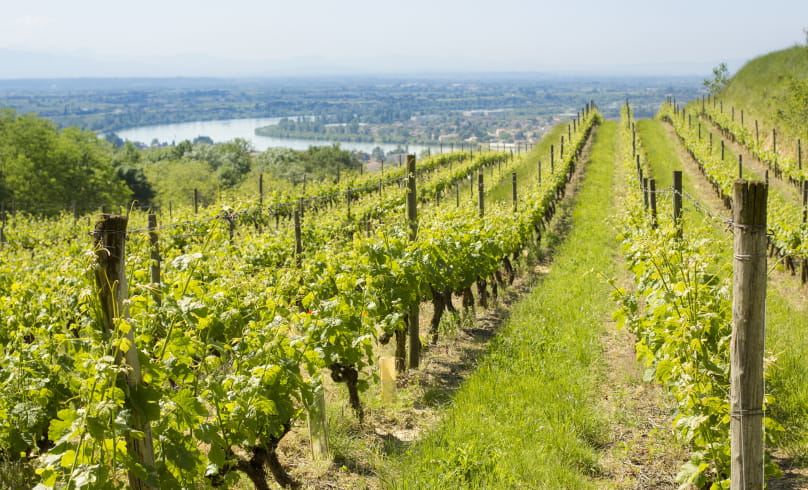
Tour de pays équestre de la Drôme des Collines
We propose 8 stages, the stages are proposed from village to village (certain accommodations generate an additional distance to be added to the distance indicated):
1- Tain l'Hermitage --> St Barthelémy de Vals 17.5 km
2- St Barthelemy de Vals --> Albon 16.7 km
3- Albon --> Le Grand Serre/Hauterives 37.5 km
4- Hauterives --> Montrigaud 14.9 km
5- Montrigaud --> Montmiral 22.2 km
6- Montmiral --> Peyrins 22.7 km
7- Peyrins --> St Donat 16.6 km
8- St Donat --> Tain l'Hermitage 27.5 km
In accordance with FFE/CNTE marking specifications, the equestrian tour is marked in orange throughout. Only stages 4 and 5 are open to drivers.
Ascent +/- : 4450 m
- Address26600 Tain-l'Hermitage
- Phone04 75 08 10 23
- Emailinfo@ah-tourisme.com
Our tips
- Details about route marking :
Balisage marqué en orange
Drôme Tourisme cannot be held responsible for any problems encountered along the route.
Any problems encountered can be outlined here:
Author: Conseil Départemental de la Drôme - Apidae Tourisme

