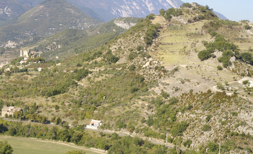
Tremble Feuille
The Anary, the stream below the Tremble feuille hill, which we follow on the way back from this walk, once boasted a dozen or so mills between Montbrun-les-Bains and Barret-de-Lioure.
They were used to grind wheat, extract oil from olives, almonds and walnuts, and grind plaster from gypsum quarries. Indeed, Montbrun plaster was renowned for its whiteness and strength, and was also very useful as fertilizer: at the beginning of the 19th century, there were two large plaster kilns in the area.
NB: Please note that the 2nd half of the hike is on the road.
If you want to avoid this part, simply retrace your steps as soon as you reach the top of the valley.
Start: Montbrun-les-Bains, alt.610 m, parking lot in front of the Mairie.
1. Take the main road towards Séderon (D 542)
2. Walk 800 m, then leave the main road and take a small road on the left, lined with lime trees. Go straight ahead at the first intersection. The road follows a small stream to the "Tremol, alt. 650 m" crossroads.
3. Turn right (towards "La Boucoule"), a lime tree marks the start of the path. Climb the track.
4. At the first junction, continue uphill to the right.
5. 400 m further on, leave the track on your left, which is blocked by a chain. Take the path heading northeast down to the Boucoule ravine.
6. When you reach a track, take the right-hand path and follow it downhill; the track becomes a small road.
7. At the intersection with the D 542, turn right in the direction of Montbrun-les-Bains as far as the starting point (take care, busy road).
- Address26570 Montbrun-les-Bains
Drôme Tourisme cannot be held responsible for any problems encountered along the route.
Any problems encountered can be outlined here:
Author: Conseil Départemental de la Drôme - Apidae Tourisme

