PressAs a group

Walking routes

Select your walking route by clicking « Filter »: length, duration and level of difficulty as well as the commune if relevant. and discover the Trois Becs, the Glandasse, the Plateau d'Ambel or the Gorges d'Omblèze, the Gorges des Gâts, the Pas des Ondes, the Défilé de Trente Pas...

403 Results
Chemin du Bois de Jamot
Pedestrian sports, Hiking itinerary Jamot Woods
  • 11.23 km
  • 2h24
  • Moderate
  • + 200 m
Departure : Espeluche
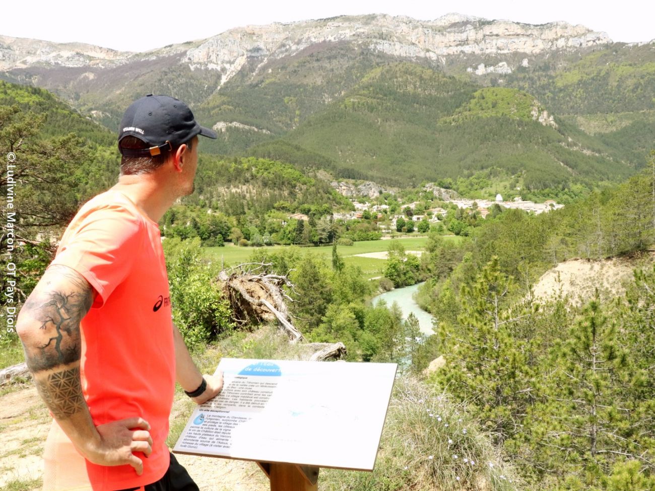
Le sentier des Mines : la Roche et l'Eau
Pedestrian sports, Hiking itinerary Le sentier des mines
  • 3.42 km
  • 1h15
  • Very easy
  • + 40 m
Departure : Châtillon-en-Diois
BP Rochecolombe
Pedestrian sports, Hiking itinerary Roche Colombe
  • 9.75 km
  • 4h30
  • Difficult
  • + 560 m
Departure : Saoû
Falaises et lavande
Pedestrian sports, Hiking itinerary Le tour de Desse
  • 6.63 km
  • 2h30
  • Moderate
  • + 350 m
Departure : Marignac-en-Diois
Pedestrian sports, Hiking itinerary Les Escoulaires
  • 10.82 km
  • 2h53
  • Moderate
  • + 292 m
Departure : Vinsobres
Cols Marot et Imbert
Pedestrian sports, Hiking itinerary Cols Marot et Imbert
  • 8.82 km
  • 3h
  • Moderate
  • + 350 m
Departure : Montjoux
Baïn
Pedestrian sports, Hiking itinerary Baïn
  • 11.38 km
  • 4h
  • Difficult
  • + 620 m
Departure : Châtillon-en-Diois
Rocher du Serres des Têtes
Pedestrian sports, Hiking itinerary Le col des Prêtres
  • 4.85 km
  • 1h45
  • Moderate
  • + 260 m
Departure : Glandage
Pedestrian sports, Hiking itinerary Chamouse
  • 18.44 km
  • 6h37
  • Very difficult
  • + 830 m
Departure : Montauban-sur-l'Ouvèze
Pedestrian sports, Hiking itinerary Rocher de Cresta
  • 9.81 km
  • 4h42
  • Very difficult
  • + 900 m
Departure : Saillans
Vue sur le Vercors à l'automne
Pedestrian sports, Hiking itinerary Le col de Bergu
  • 10.01 km
  • 3h
  • Moderate
  • + 390 m
Departure : Die
Pedestrian sports, Hiking itinerary Le sentier des oliviers de Nyons
  • 3.9 km
  • 1h1
  • Very easy
  • + 127 m
Departure : Nyons
Pedestrian sports, Hiking itinerary La croix du Bézot
  • 12.79 km
  • 4h30
  • Difficult
  • + 656 m
Departure : Ourches
Pedestrian sports, Hiking itinerary La combe fauchée
  • 10.39 km
  • 3h
  • Moderate
  • + 150 m
Departure : Larnage
Départ en direction de la dent de Die
Pedestrian sports, Hiking itinerary Merayon - Bonne Combe
  • 13.26 km
  • 4h30
  • Difficult
  • + 625 m
Departure : Romeyer
Rando N°18
Pedestrian sports, Hiking itinerary Sur le chemin de Borne Rousse
  • 6.68 km
  • 2h10
  • Moderate
  • + 280 m
Departure : La Laupie
Le Devès
Pedestrian sports, Hiking itinerary LE DEVES
  • 6.24 km
  • 1h45
  • Moderate
  • + 160 m
Departure : Montjoux
Pont des Sarrasins
Pedestrian sports, Hiking itinerary Le pont des Sarrasins
  • 8.14 km
  • 3h40
  • Difficult
  • + 445 m
Departure : Châteaudouble
Pedestrian sports, Hiking itinerary La Veaune
  • 7.21 km
  • 2h3
  • Moderate
  • + 130 m
Departure : Mercurol-Veaunes
Pedestrian sports, Hiking itinerary Montagne du Grêle
  • 14.49 km
  • 6h
  • Difficult
  • + 800 m
Departure : Saint-Sauveur-Gouvernet
Le but Saint-Genix
Pedestrian sports, Hiking itinerary Le pas de Bouillanain et le But Saint-Genix
  • 19.91 km
  • 7h30
  • Very difficult
  • + 1138 m
Departure : Saint-Julien-en-Quint
Pedestrian sports, Hiking itinerary Circuit - Serre des Aigles
  • 14.94 km
  • 4h44
  • Very difficult
  • + 400 m
Departure : Aouste-sur-Sye
Pedestrian sports, Hiking itinerary GR 965 Sur les pas des Huguenots - étape 2 : Dieulefit - Bourdeaux
  • 16.13 km
  • 4h17
  • Difficult
  • + 681 m
Departure : Dieulefit
Pedestrian sports, Hiking itinerary La Roche du Mas
  • 14.9 km
  • 4h58
  • Very difficult
  • + 560 m
Departure : La Chapelle-en-Vercors
Pedestrian sports, Hiking itinerary La tour de Montmiral
  • 12.86 km
  • 4h13
  • Difficult
  • + 450 m
Departure : Saint-Michel-sur-Savasse
Pedestrian sports, Hiking itinerary Montagne d'Albion et la forêt du Tay
  • 14.69 km
  • 5h
  • Difficult
  • + 610 m
Departure : Séderon
Le col de Staton
Pedestrian sports, Hiking itinerary Le col de Staton
  • 15.75 km
  • 5h30
  • Very difficult
  • + 750 m
Departure : Verclause
Pedestrian sports, Hiking itinerary Le creux du renard
  • 9.07 km
  • 2h30
  • Moderate
  • + 210 m
Departure : Larnage
Pedestrian sports, Hiking itinerary Le tour de l'Echarasson
  • 8.84 km
  • 2h12
  • Moderate
  • + 342 m
Departure : Saint-Jean-en-Royans
Pedestrian sports, Hiking itinerary GTV à pied - Vassieux-en-Vercors - Font d'Urle
  • 5.08 km
  • 2h1
  • Difficult
  • + 390 m
Departure : Vassieux-en-Vercors
Pedestrian sports, Hiking itinerary Les canaux, la Meyerie
  • 19.48 km
  • 5h
  • Very difficult
  • + 800 m
Departure : Saint-Sorlin-en-Valloire
Le village de Mercurol
Pedestrian sports, Hiking itinerary Hiking Trail: "The Mercurol Heights"
  • 8.29 km
  • 2h45
  • Moderate
  • + 232 m
Departure : Mercurol-Veaunes
Pedestrian sports, Hiking itinerary Les quatre cols
  • 17.02 km
  • 6h
  • Difficult
  • + 670 m
Departure : Bénivay-Ollon
Pedestrian sports, Hiking itinerary Le pas de l'Allier
  • 7.92 km
  • 2h
  • Moderate
  • + 237 m
Departure : Saint-Martin-en-Vercors
Pedestrian sports, Hiking itinerary Les villages perchés
  • 18.69 km
  • 4h44
  • Very difficult
  • + 475 m
Departure : Allan
Pedestrian sports, Hiking itinerary Tour de la citadelle
  • 4.11 km
  • 1h3
  • Very easy
  • + 117 m
Departure : Montbrun-les-Bains
Your travel journal is empty. Add places or events to download here.
Download my travel diary
Empty
filters
Remove filters Filter and close

Chargement

Discover the route