Walking routes
Select your walking route by clicking « Filter »: length, duration and level of difficulty as well as the commune if relevant. and discover the Trois Becs, the Glandasse, the Plateau d'Ambel or the Gorges d'Omblèze, the Gorges des Gâts, the Pas des Ondes, the Défilé de Trente Pas...
403 Results
![Sentier Le bois du Loup](https://www.ladrometourisme.com/wp-content/uploads/external/2fbd1a32a6a7864f853d2f6f57dcdadb-10094054-160x160.jpg)
Pedestrian sports, Hiking itinerary
Le bois du Loup
- 2.78 km
- 1h30
- Very easy
- + 140 m
![](https://www.ladrometourisme.com/wp-content/uploads/2022/12/logo-drome-2023-160x160.png)
Pedestrian sports, Hiking itinerary
Combe de Chaloray
- 9.9 km
- 3h
- Moderate
- + 290 m
![](https://www.ladrometourisme.com/wp-content/uploads/external/424a070ab02b08e79358343c655e9de3-13804688-160x160.jpg)
Pedestrian sports, Hiking itinerary
Colline des Olivettes et gorges d'Ubrieux
- 5.41 km
- 2h15
- Very easy
- + 90 m
![](https://www.ladrometourisme.com/wp-content/uploads/2022/12/logo-drome-2023-160x160.png)
Pedestrian sports, Hiking itinerary
Mont Miéry
- 8 km
- 2h30
- Difficult
- + 210 m
![Les hameaux de l'Eglise et du Serre](https://static.apidae-tourisme.com/filestore/objets-touristiques/images/61/169/27765053.jpg)
Pedestrian sports, Hiking itinerary
Les hameaux de l'Eglise et du Serre
- 7.08 km
- 3h
- Moderately difficult
- + 500 m
![Prieuré de manthes](https://www.ladrometourisme.com/wp-content/uploads/external/72b4ed28c94d3441feab56fd740ca372-2242435-160x160.jpg)
Pedestrian sports, Hiking itinerary
Le chemin des Autrichiens
- 11.06 km
- 3h16
- Difficult
- + 270 m
![](https://www.ladrometourisme.com/wp-content/uploads/external/f90414a621d6fa85000f50ee46b8e906-4712225-160x160.jpg)
Pedestrian sports, Hiking itinerary
Le tour de Gourdon
- 8.13 km
- 3h30
- Moderately difficult
- + 460 m
![Le col de la Maure](https://static.apidae-tourisme.com/filestore/objets-touristiques/images/49/171/27765553.jpg)
Pedestrian sports, Hiking itinerary
Le col de la Maure
- 9.91 km
- 3h30
- Moderately difficult
- + 500 m
![borne 2 sur le pâturage en herbe et pierre du sentier du karst](https://www.ladrometourisme.com/wp-content/uploads/external/857d7041137173e1c702b16b345706ad-22110584-160x160.jpg)
Pedestrian sports, Hiking itinerary
HIking : Karst trail
- 4.6 km
- 2h
- Very easy
- + 90 m
![Le tour de Jumel](https://static.apidae-tourisme.com/filestore/objets-touristiques/images/69/95/27746117.jpg)
Pedestrian sports, Hiking itinerary
Le tour de Jumel
- 9.31 km
- 3h30
- Difficult
- + 450 m
![](https://www.ladrometourisme.com/wp-content/uploads/2022/12/logo-drome-2023-160x160.png)
Pedestrian sports, Hiking itinerary
GRP de la Roanne (variante par le sommet de la Servelle)
- 4.35 km
- 1h35
- Difficult
- + 280 m
![](https://www.ladrometourisme.com/wp-content/uploads/external/5573d4a7dc0c14baafbb0d0061f24300-18878488-160x160.png)
Pedestrian sports, Hiking itinerary
Sur les bords de l'Ecoutay, de la Véore et du Pétochin
- 8.33 km
- 2h3
- Moderate
- + 40 m
![](https://www.ladrometourisme.com/wp-content/uploads/external/b0d37ad0f46d951d0ae4f1f0b66b6990-18856420-160x160.jpg)
Pedestrian sports, Hiking itinerary
Forêt de Lente
- 6.72 km
- 2h30
- Moderate
- + 131 m
![Cols Marot et Imbert](https://static.apidae-tourisme.com/filestore/objets-touristiques/images/86/253/27786582.jpg)
Pedestrian sports, Hiking itinerary
Cols Marot et Imbert
- 8.81 km
- 3h
- Moderate
- + 350 m
![](https://www.ladrometourisme.com/wp-content/uploads/external/63f18a590a01437ff999ca68b79a8c0d-13812034-160x160.jpg)
Pedestrian sports, Hiking itinerary
Les trois cols
- 17.45 km
- 4h19
- Moderately difficult
- + 515 m
![Village](https://www.ladrometourisme.com/wp-content/uploads/external/1fdf184a992c824b0e5fdab50e566ea2-9442885-160x160.jpg)
Pedestrian sports, Hiking itinerary
GR 965 Sur les pas des Huguenots - étape 8 : Châtillon en Diois - Trechenu Creyers
- 11.84 km
- 4h30
- Very difficult
- + 1151 m
![Tours et détours du Lez](https://static.apidae-tourisme.com/filestore/objets-touristiques/images/0/169/27764992.jpg)
Pedestrian sports, Hiking itinerary
Tours et détours du Lez
- 9 km
- 3h
- Difficult
- + 300 m
![Canyon des Gueulards](https://www.ladrometourisme.com/wp-content/uploads/external/0f2b86cbf011567ff05ee651c3b0332c-17346244-160x160.jpg)
Pedestrian sports, Hiking itinerary
Le canyon des Gueulards
- 9.19 km
- 3h18
- Difficult
- + 450 m
![Anes devant la montagne d'Angèle](https://www.ladrometourisme.com/wp-content/uploads/external/34a5ebaa69a0c6a22c6ec0151f414206-20741060-160x160.jpg)
Pedestrian sports, Hiking itinerary
Montanègue
- 11.94 km
- 4h
- Moderately difficult
- + 540 m
![Peylong](https://www.ladrometourisme.com/wp-content/uploads/external/9170341060a8158ce672272a8813d8d9-8883924-160x160.jpg)
Pedestrian sports, Hiking itinerary
Peylong
- 5.07 km
- 1h56
- Moderate
- + 191 m
![](https://www.ladrometourisme.com/wp-content/uploads/external/cef5753c55ba862440ab6ac0b5a77f86-13809350-160x160.jpg)
Pedestrian sports, Hiking itinerary
Les crêtes de Costadret - La Tour
- 4.33 km
- 2h
- Moderate
- + 220 m
![BP Sur les pas des muletiers](https://www.ladrometourisme.com/wp-content/uploads/external/00d36c4e80459c91fc19b5340ee0d8b4-19034935-160x160.jpg)
Pedestrian sports, Hiking itinerary
Sur les pas des muletiers
- 7.58 km
- 2h30
- Moderate
- + 300 m
![](https://www.ladrometourisme.com/wp-content/uploads/external/057d74602b5817860ff4278fb09a5c47-16990754-160x160.jpg)
Pedestrian sports, Hiking itinerary
Le chemin de Diane
- 9.5 km
- 2h30
- Moderate
- + 63 m
![Le Tour du Plateau d'Ambel](https://www.ladrometourisme.com/wp-content/uploads/external/8c708dc002571188a418a85b59a5c52d-17346261-160x160.jpg)
Pedestrian sports, Hiking itinerary
Le tour du plateau d'Ambel
- 15.31 km
- 4h
- Moderately difficult
- + 537 m
![Sur la montagne de beure](https://www.ladrometourisme.com/wp-content/uploads/external/c961477a33794d9fee5983a82db18af2-10099811-160x160.jpg)
Pedestrian sports, Hiking itinerary
Sentier de l'Ours du Vercors
- 6.76 km
- 3h
- Moderate
- + 230 m
![](https://www.ladrometourisme.com/wp-content/uploads/2022/12/logo-drome-2023-160x160.png)
Pedestrian sports, Hiking itinerary
GTV à pied - Saint-Julien-en-Quint - Vassieux-en-Vercors
- 11.83 km
- 4h57
- Difficult
- + 850 m
![Randonnée de Grignan](https://www.ladrometourisme.com/wp-content/uploads/external/b2c5562cccea88fc3768e6fc765e145b-7556536-160x160.jpg)
Pedestrian sports, Hiking itinerary
Sur les pas de la Marquise de Sévigné
- 9.37 km
- 3h
- Moderate
- + 90 m
![Le Jocou](https://static.apidae-tourisme.com/filestore/objets-touristiques/images/70/169/27765062.jpg)
Pedestrian sports, Hiking itinerary
Le Jocou et le col du Pigeon
- 8.12 km
- 4h
- Difficult
- + 726 m
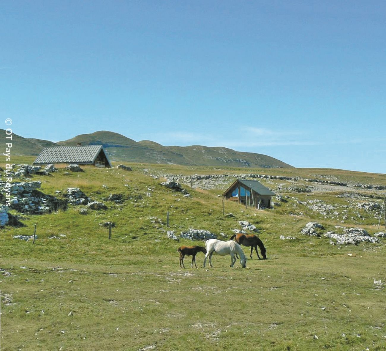
![Belvédère de la Porte d'Urle](https://static.apidae-tourisme.com/filestore/objets-touristiques/images/181/254/27786933.jpg)
Pedestrian sports, Hiking itinerary
Belvédère de la Porte d'Urle
- 1.19 km
- 30min
- Very easy
- + 40 m
![](https://www.ladrometourisme.com/wp-content/uploads/external/9cd99aeed6fd9c57720e33a165d5fb95-13805085-160x160.jpg)
Pedestrian sports, Hiking itinerary
La Nible
- 8.53 km
- 3h9
- Difficult
- + 480 m
![](https://www.ladrometourisme.com/wp-content/uploads/external/7a7864438a601e8658291c62bd482d51-8224496-160x160.jpg)
Pedestrian sports, Hiking itinerary
La montagne de Dieu-Grâce
- 6.69 km
- 2h13
- Moderate
- + 300 m
![Ramiat](https://static.apidae-tourisme.com/filestore/objets-touristiques/images/12/169/27765004.jpg)
Pedestrian sports, Hiking itinerary
Ramiat
- 11.57 km
- 4h15
- Moderately difficult
- + 630 m
![](https://www.ladrometourisme.com/wp-content/uploads/external/d19a674940d3a1bc233a0ae46f811fa5-13267428-160x160.jpg)
Pedestrian sports, Hiking itinerary
L'adret du Gravas
- 14.67 km
- 5h
- Moderately difficult
- + 500 m
![](https://www.ladrometourisme.com/wp-content/uploads/external/27502ca0e29ffc82e801d3fd6410f41f-9728123-160x160.jpg)
Pedestrian sports, Hiking itinerary
Sur les pas des carriers
- 14.33 km
- 4h30
- Moderate
- + 440 m
![](https://www.ladrometourisme.com/wp-content/uploads/2022/12/logo-drome-2023-160x160.png)
Pedestrian sports, Hiking itinerary
La Veaune
- 7.2 km
- 2h3
- Moderate
- + 130 m
![](https://www.ladrometourisme.com/wp-content/uploads/external/09742feea0ad4cd0796163d25473acd0-1656194-160x160.jpg)
Pedestrian sports, Hiking itinerary
Saint Christophe et les Trois Bornes
- 14.02 km
- 5h
- Moderately difficult
- + 590 m