Les Gagères
Ajouter au carnet de voyage
- Distance6.37 km
- Duration3h
- DifficultyDifficult
- Total altitude change+ 325 m
- Departure/arrivalBouvante
- Route markingYes
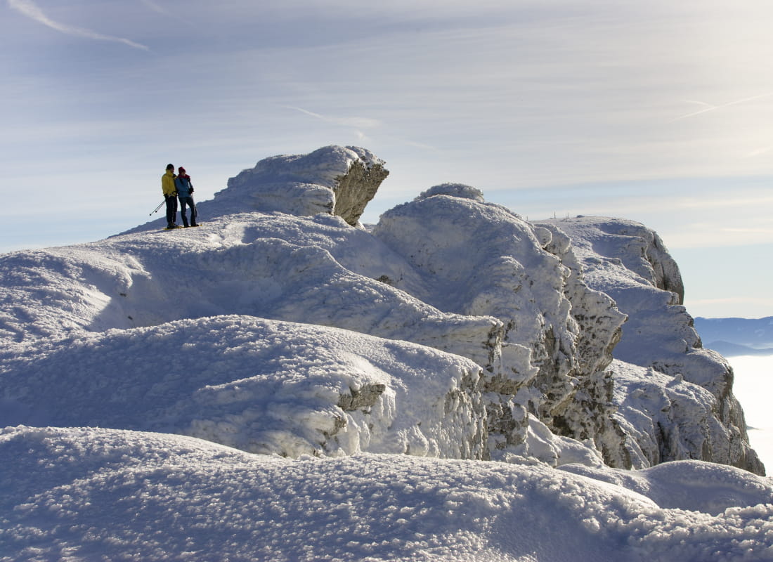
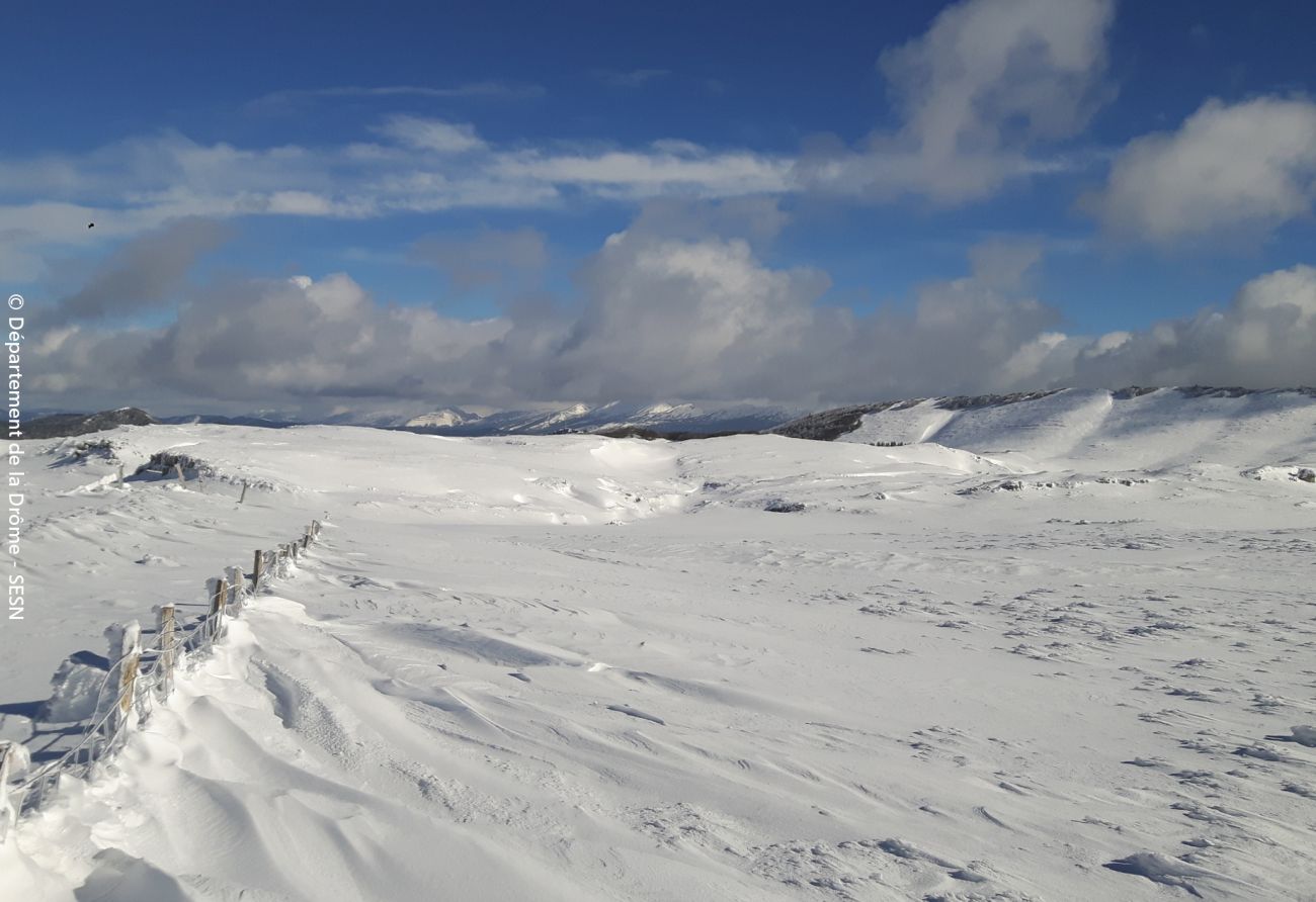
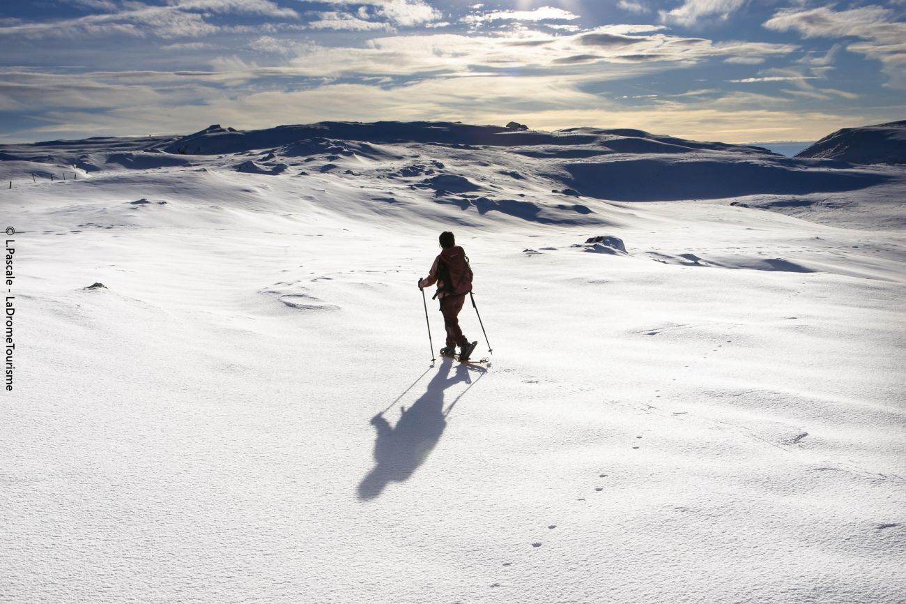
This hike takes in the vast expanses of the Gagères plateau. You'll also enjoy views of the Hauts Plateaux du Vercors chain and its highest peak, Grand Veymont (2341m).
- Address26190 Bouvante
- Emailstations@ladrome.fr
- WebsiteSee the website
Drôme Tourisme cannot be held responsible for any problems encountered along the route.
Any problems encountered can be outlined here:
Author: Conseil Départemental de la Drôme - Apidae Tourisme
To show the map
0M
0M