Col de Villard
Ajouter au carnet de voyage
- Distance10 km
- Duration3h45
- TypeCircular
- DifficultyDifficult
- Total altitude change+ 510 m
- Departure/arrivalDie
- Route markingYes
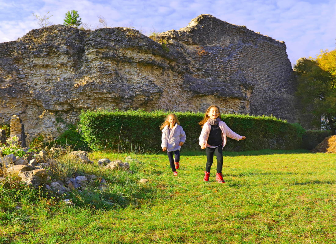
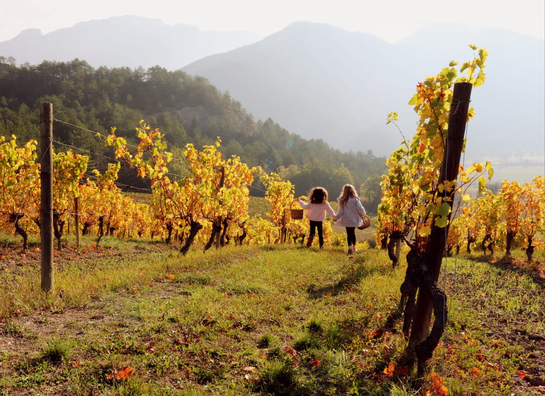
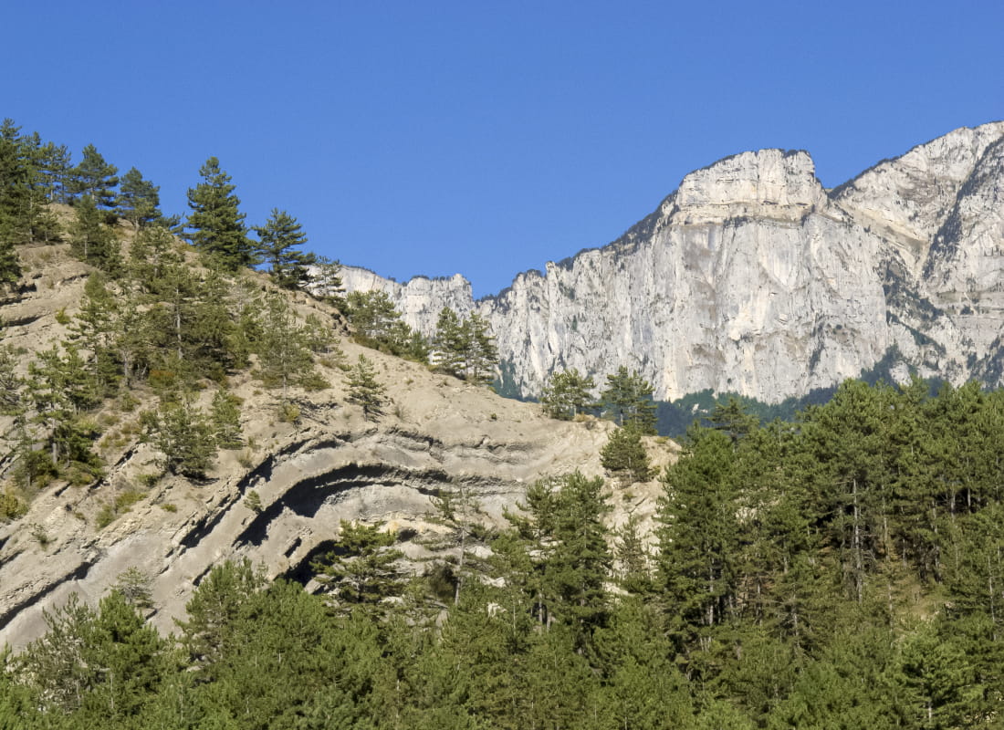
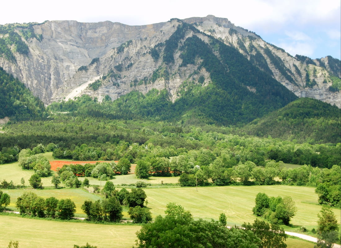
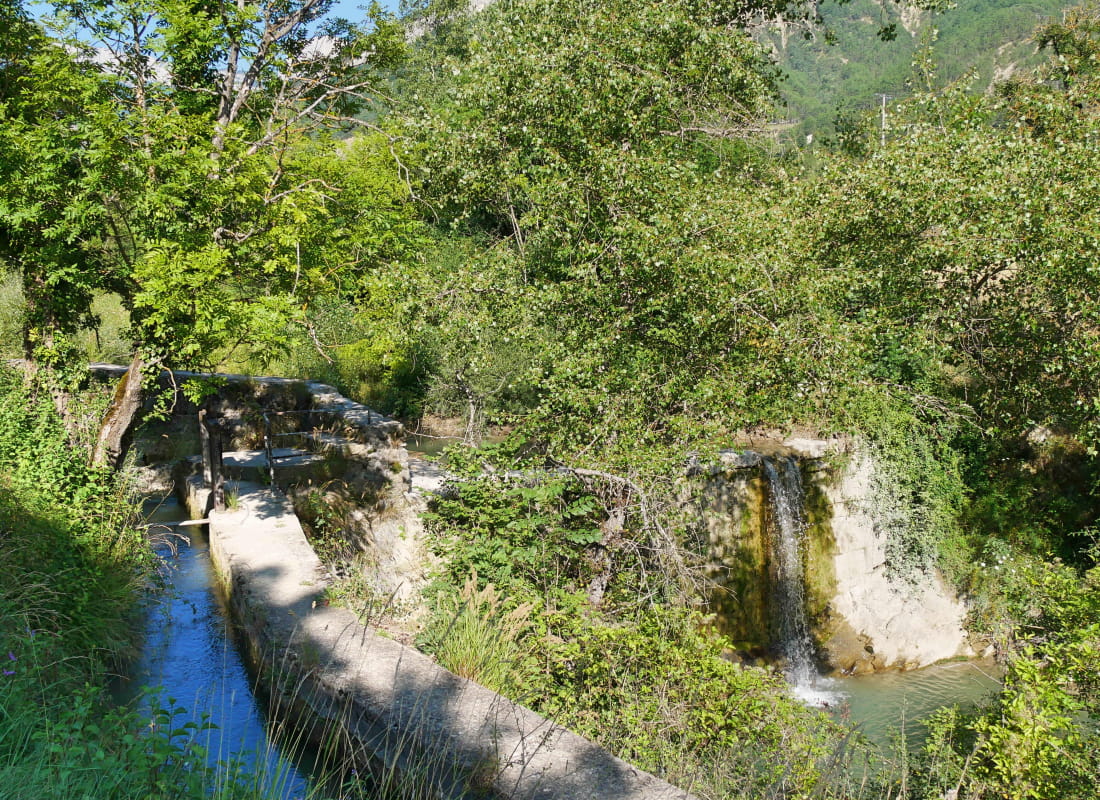
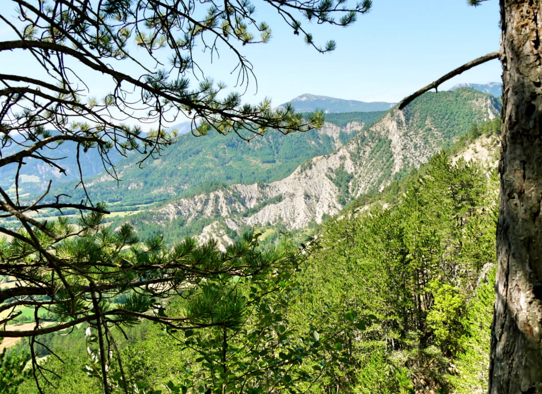
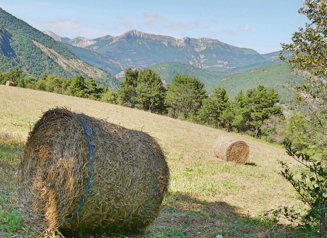
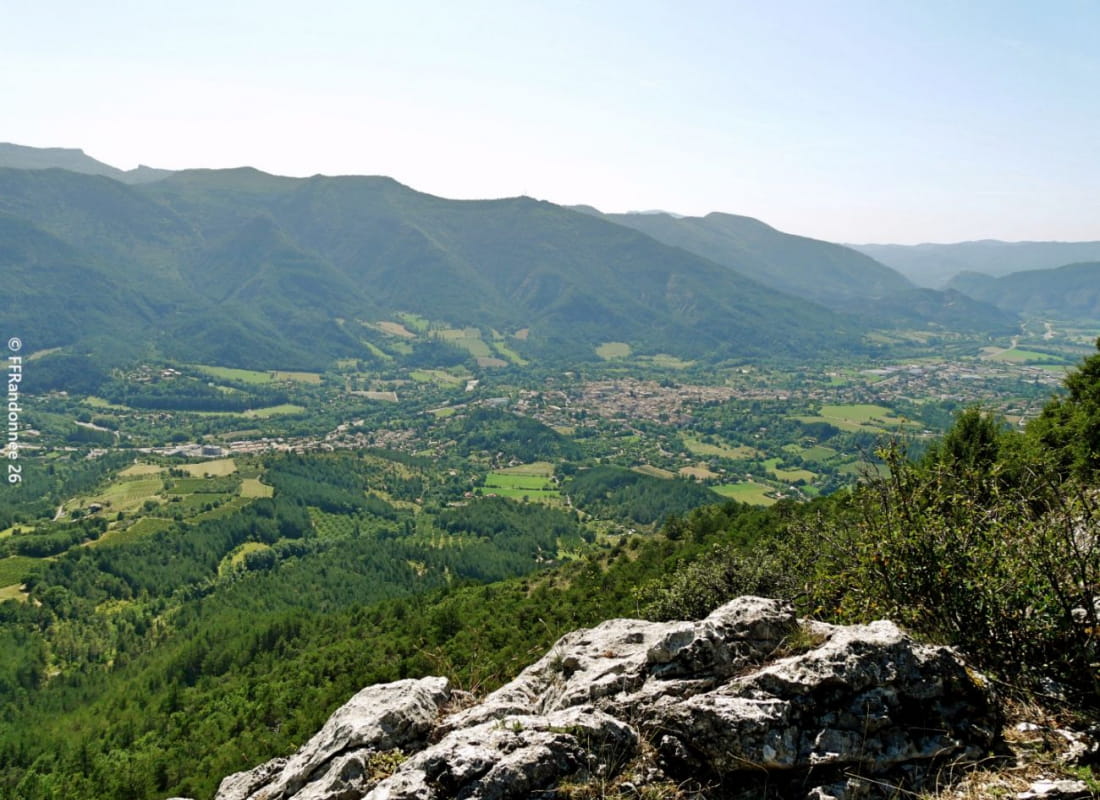
Accompanied by the sound of the Canal des Fondeaux and the Clairette de Die vineyards, take in the scents of the pine forest at the foot of the Vercors cliffs as you zigzag along a small path leading to the lookout overlooking Die.
- Address1 rue des Jardins
26150 Die - Phone04 75 22 03 03
- Emailcontact@diois-tourisme.com
- WebsiteSee the website
Our tips
- Details about route marking :
Balisage jaune et vert (PR) et blanc et rouge (GR) avec poteaux de signalétique directionnelle. - Références topographiques :
Topoguide "Le Diois à pied - Aux sources de la Drôme" de la Fédération Française de Randonnée.
Carte Vercors-Diois du PNR Vercors - Map references :
TOP 25 IGN 3237
Drôme Tourisme cannot be held responsible for any problems encountered along the route.
Any problems encountered can be outlined here:
Author: Conseil Départemental de la Drôme - Apidae Tourisme
To show the map
0M
0M