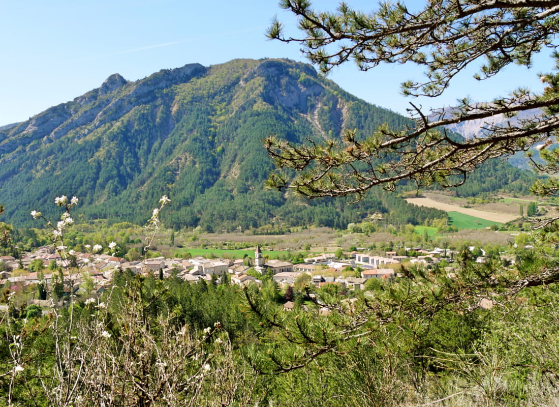
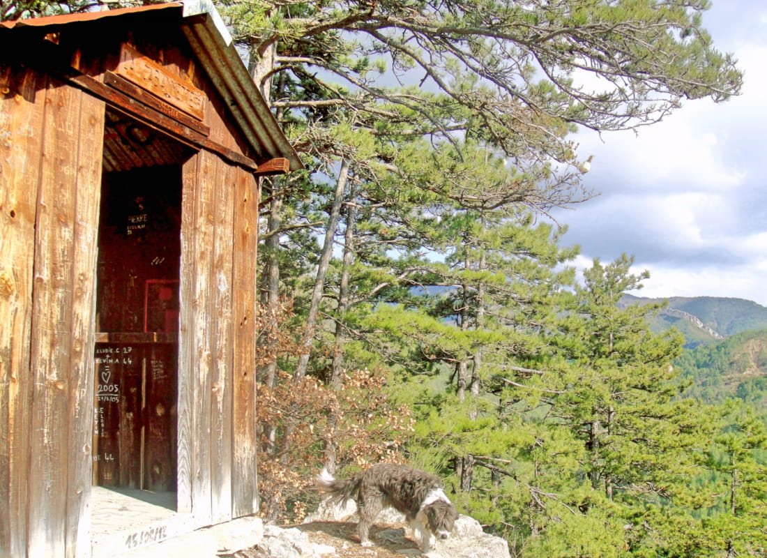
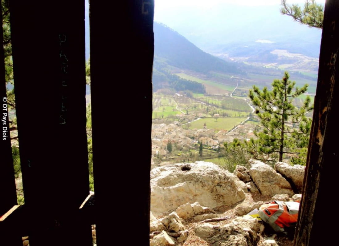
La cabanette et le Pic de Luc
Ajouter au carnet de voyage
- Distance6,8 km
- Duration2h30
- TypeCircular
- DifficultyModerate
- Total altitude change+ 250 m
- Departure/arrivalLuc-en-Diois
- Route markingYes
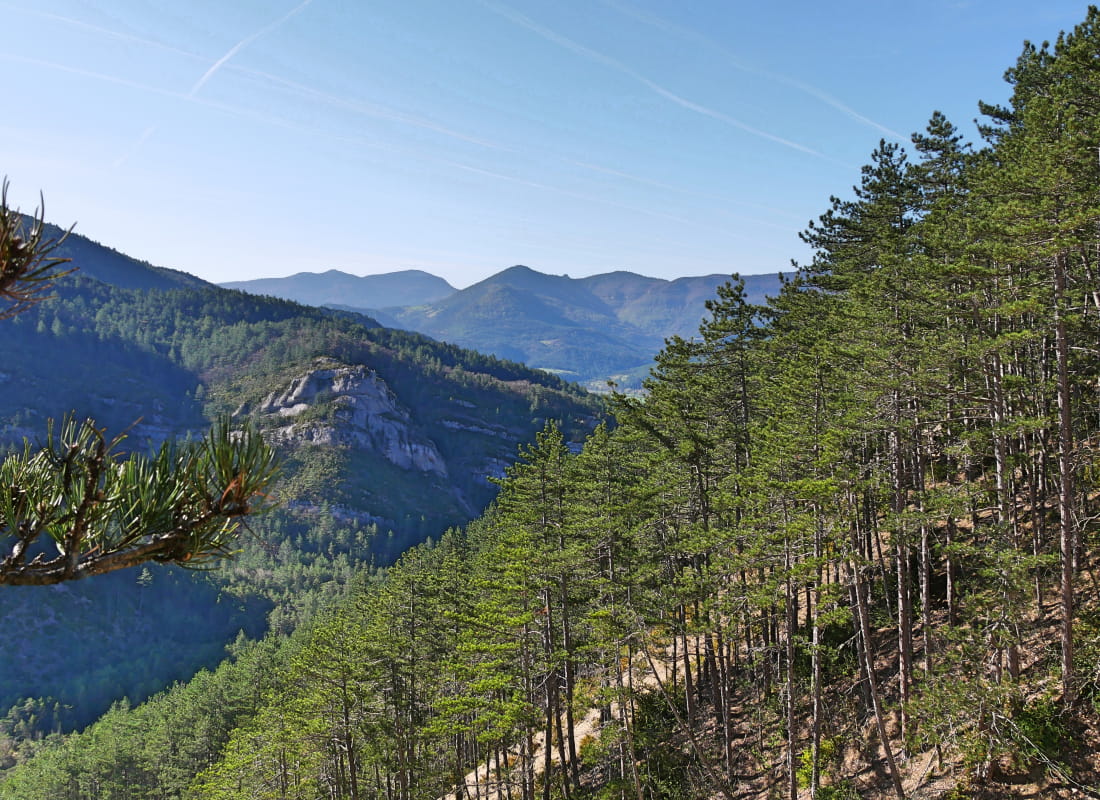
You climb peacefully through the pines to the suspended hut above Luc-en-Diois. If you're a mountaineer, you can take on the challenging ascent of the Pic de Luc, dominating the vertiginous summit slab of gargantuan scree...
- AddressRue du Lavoir
26310 Luc-en-Diois - Phone04 75 22 03 03
- Emailcontact@diois-tourisme.com
- WebsiteSee the website
Our tips
- Details about route marking :
Balisage jaune (PR). - Difficult stretches :
Randonnée avec quelques passages techniques dans les marnes; et difficiles avec l'ajout de l'ascension du Pic de Luc. - Références topographiques :
Topoguide "Le Diois à pied - Aux sources de la Drôme" de la Fédération Française de Randonnée. - Map references :
TOP 25 IGN 3238
Drôme Tourisme cannot be held responsible for any problems encountered along the route.
Any problems encountered can be outlined here:
Author: Conseil Départemental de la Drôme - Apidae Tourisme
To show the map
0M
0M