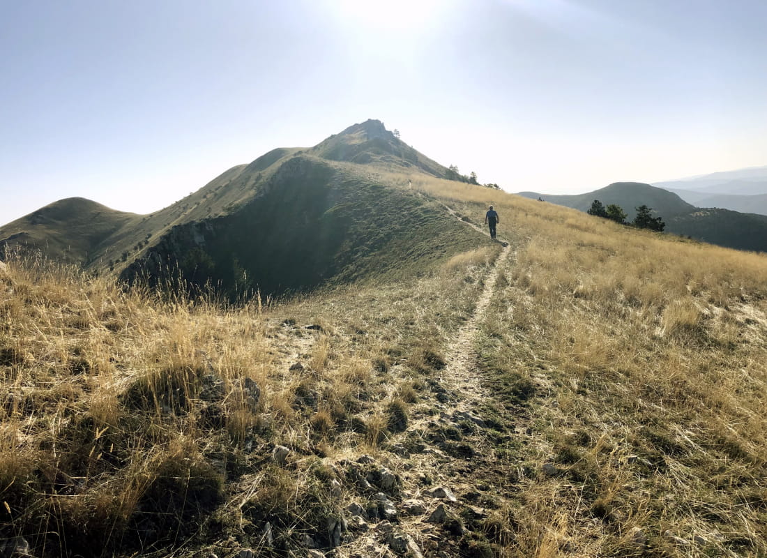
La crête des Casses
Ajouter au carnet de voyage
- Distance11,1 km
- Duration3h30
- TypeCircular
- DifficultyModerate
- Total altitude change+ 500 m
- Departure/arrivalValdrôme
- Route markingYes
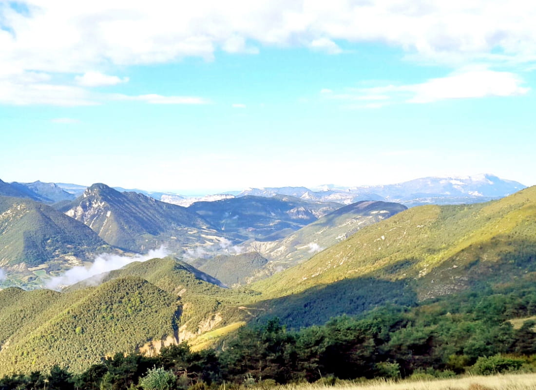
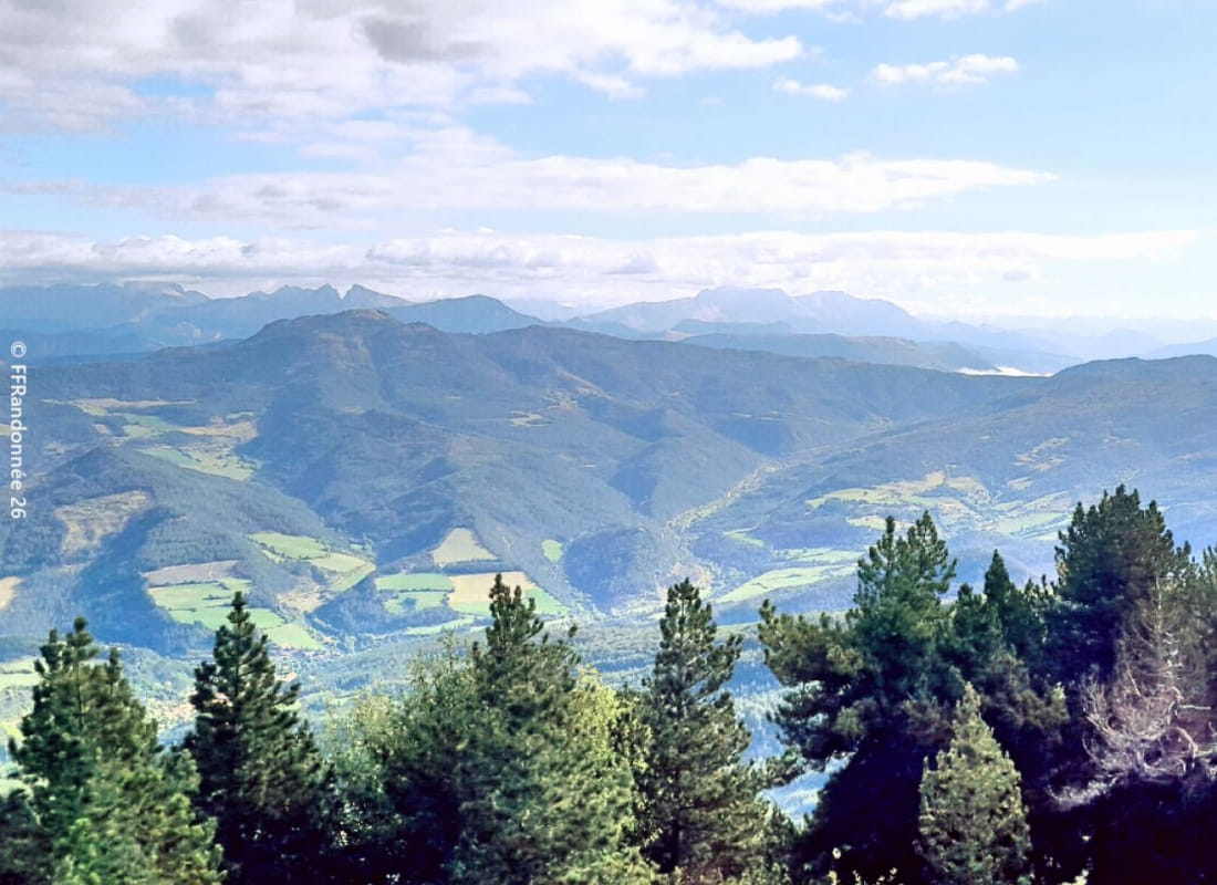
Between Drôme and Hautes-Alpes, this ridge hike between Diois and Baronnies Provençales offers views of the Vercors, Dévoluy, Mont de Lure, Mont Ventoux and the exuberant blooms of wild peonies...
- Address26310 Valdrôme
- Phone04 75 22 03 03
- Emailcontact@diois-tourisme.com
- WebsiteSee the website
Our tips
- Details about route marking :
Balisage jaune (PR) et poteaux de signalétique directionnelle. - Références topographiques :
Topoguide "Le Diois à pied - Aux sources de la Drôme" de la Fédération Française de Randonnée. - Map references :
TOP 25 IGN 3238
Drôme Tourisme cannot be held responsible for any problems encountered along the route.
Any problems encountered can be outlined here:
Author: Conseil Départemental de la Drôme - Apidae Tourisme
To show the map
0M
0M