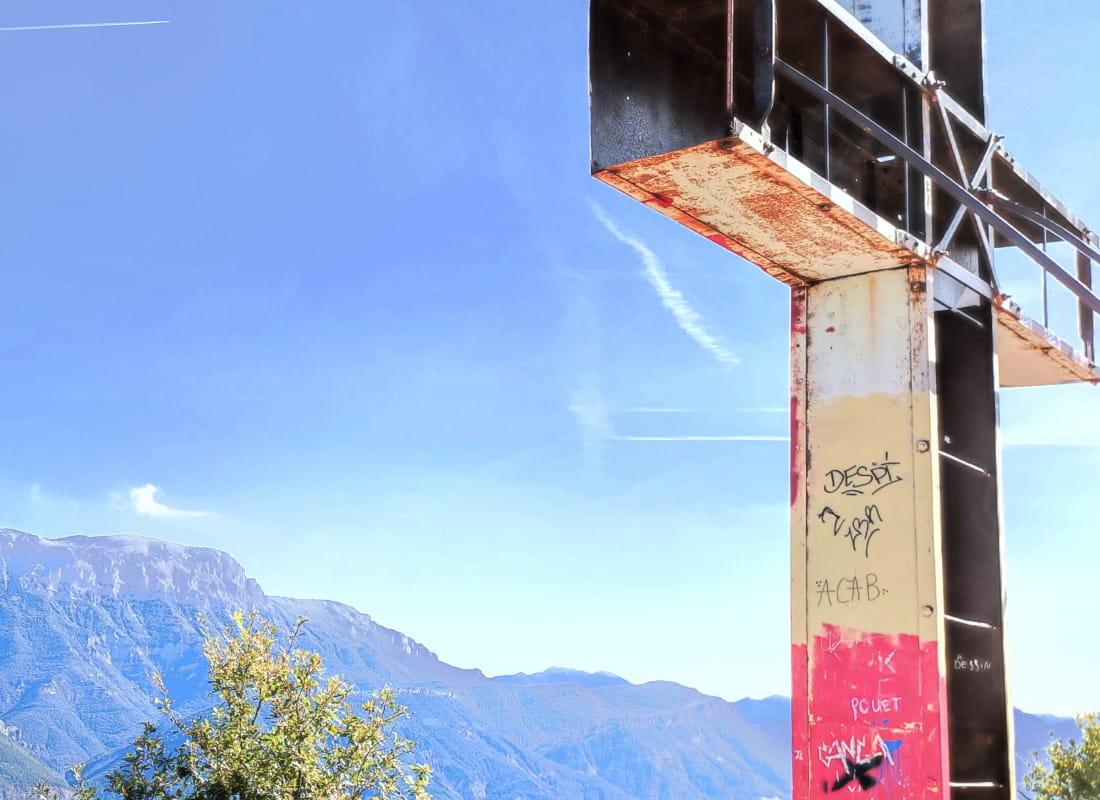
La Croix de Justin
Ajouter au carnet de voyage
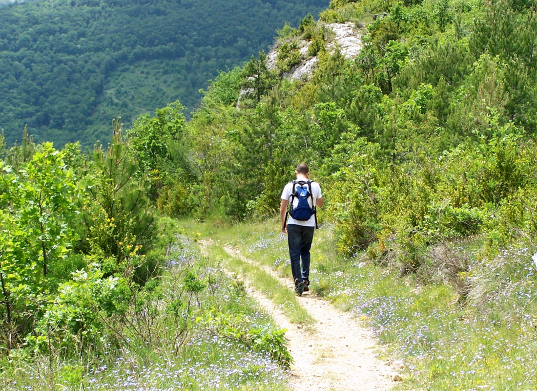
- Distance12,5 km
- Duration5h
- TypeCircular
- DifficultyDifficult
- Total altitude change+ 830 m
- Departure/arrivalDie
- Route markingYes
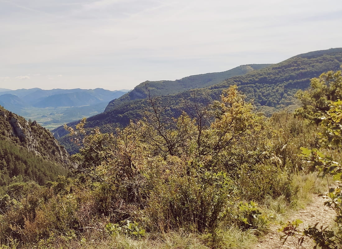
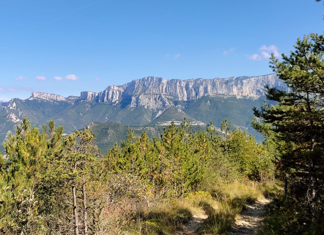
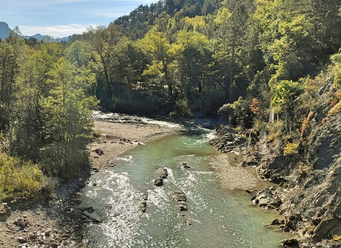
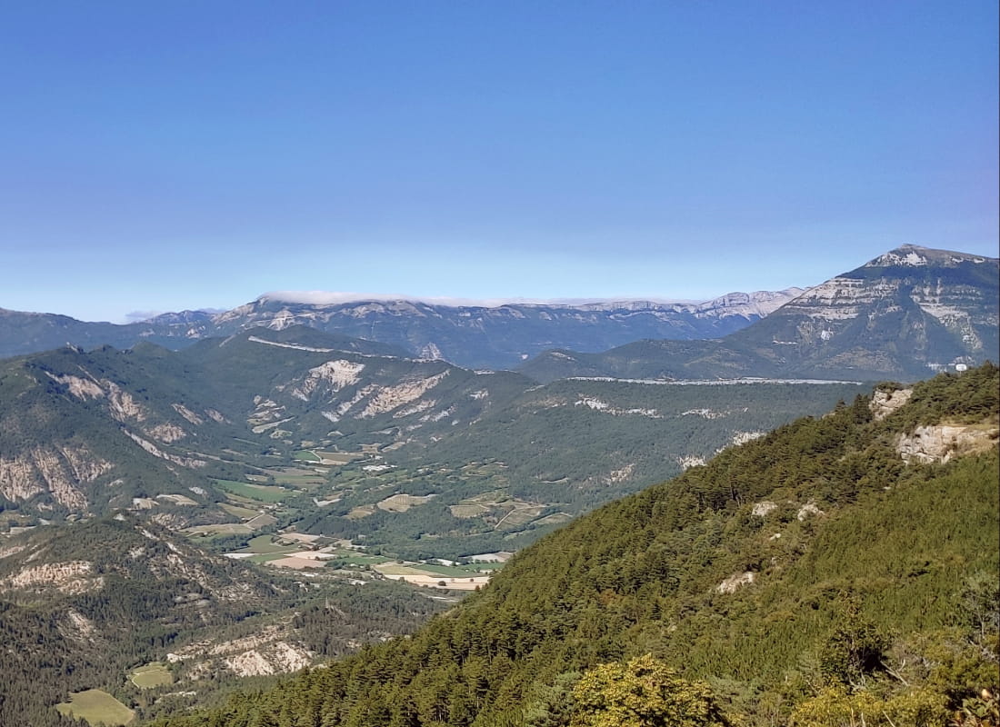
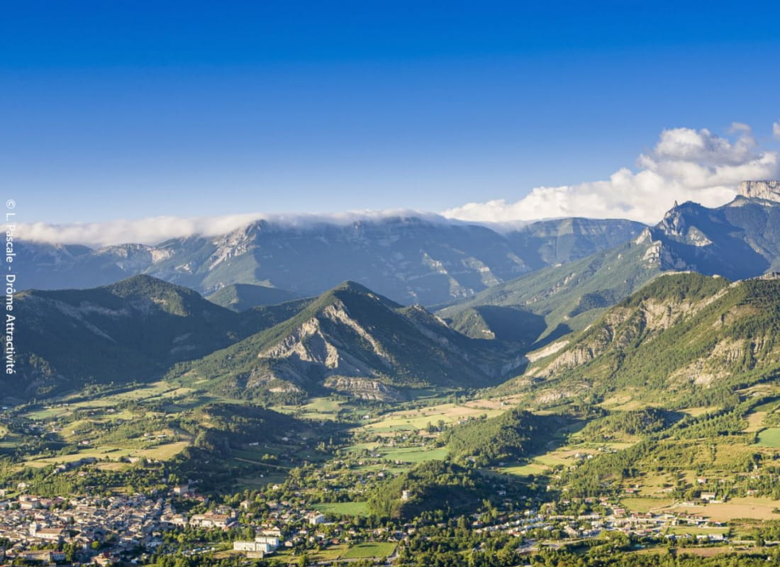
This is the spot to look the Vercors in the eye and have Die at your feet. Starting from the turquoise waters of the Drôme, which winds its way through the Clairette de Die vineyards, the path leads to the imposing cross and its table d'orien...
- AddressCimetière
Chemin de Chandillon
26150 Die - Phone04 75 22 03 03
- Emailcontact@diois-tourisme.com
- WebsiteSee the website
Our tips
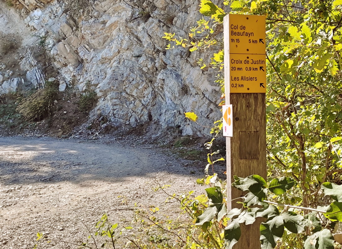
- Details about route marking :
Balisage jaune et vert (PR) et blanc et rouge (GR) avec poteaux de signalétique directionnelle. - Références topographiques :
Topoguide "Le Diois à pied - Aux sources de la Drôme" de la Fédération Française de Randonnée. - Map references :
TOP 25 IGN 3237
Drôme Tourisme cannot be held responsible for any problems encountered along the route.
Any problems encountered can be outlined here:
Author: Conseil Départemental de la Drôme - Apidae Tourisme
To show the map
0M
0M