Le Grand Surnom et la Tête de Carabaou
Ajouter au carnet de voyage
- Distance12.09 km
- Duration4h45
- TypeCircular
- DifficultyModerately difficult
- Total altitude change+ 730 m
- Departure/arrivalCharens
- Route markingYes
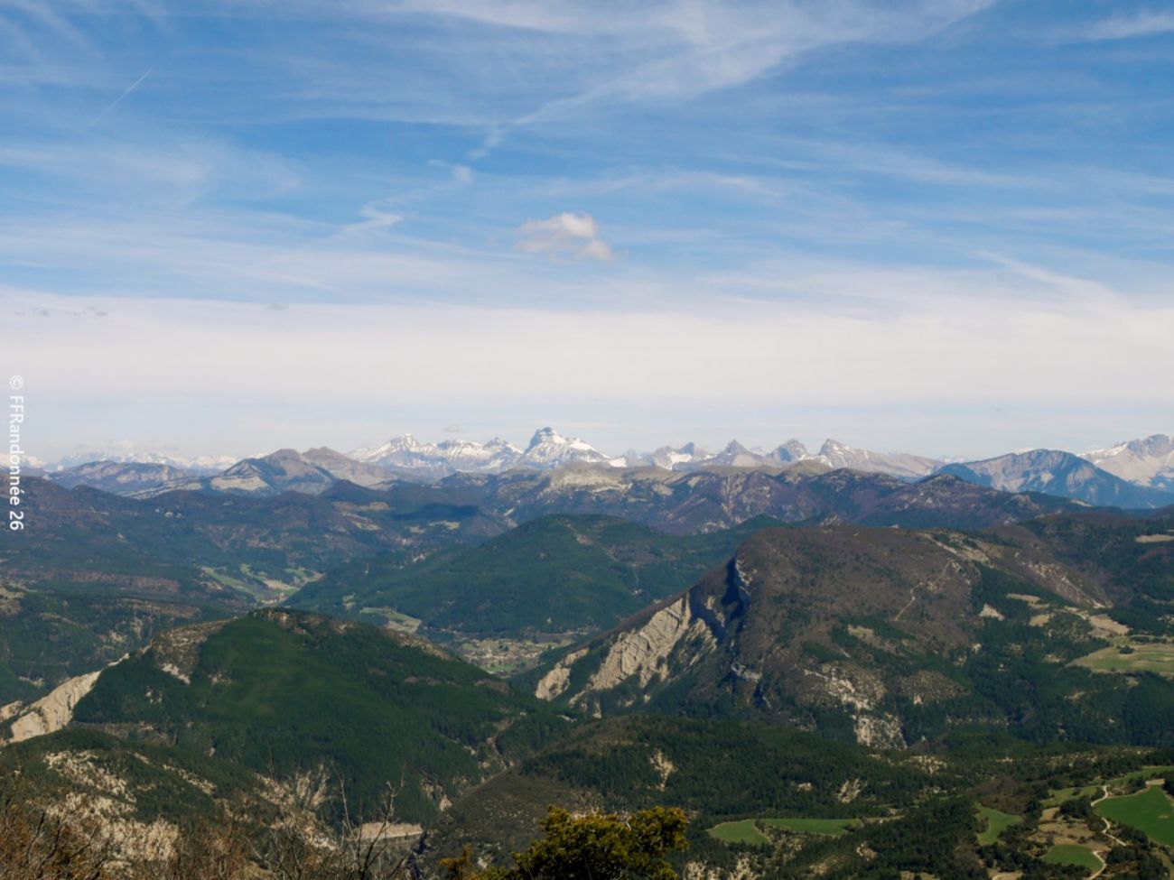
In walnut country, following the undulations of the mountain, the path becomes clothed in a pleasant, fragrant pine forest, where large rocks brighten up the foliage. The summit is a real reward, opening onto panoramic views of the Vercors, Baronnies...
- Address26310 Charens
- Phone04 75 22 03 03
- Emailcontact@diois-tourisme.com
- WebsiteSee the website
Our tips
- Details about route marking :
Balisage jaune (PR). - Références topographiques :
Topoguide "Le Diois à pied - Aux sources de la Drôme" de la Fédération Française de Randonnée. - Map references :
TOP 25 IGN 3238
Drôme Tourisme cannot be held responsible for any problems encountered along the route.
Any problems encountered can be outlined here:
Author: Conseil Départemental de la Drôme - Apidae Tourisme
To show the map
0M
0M