Le tour de Desse
Ajouter au carnet de voyage
- Distance6,2 km
- Duration2h30
- TypeCircular
- DifficultyModerate
- Total altitude change+ 350 m
- Departure/arrivalPonet-et-Saint-Auban
- Route markingYes
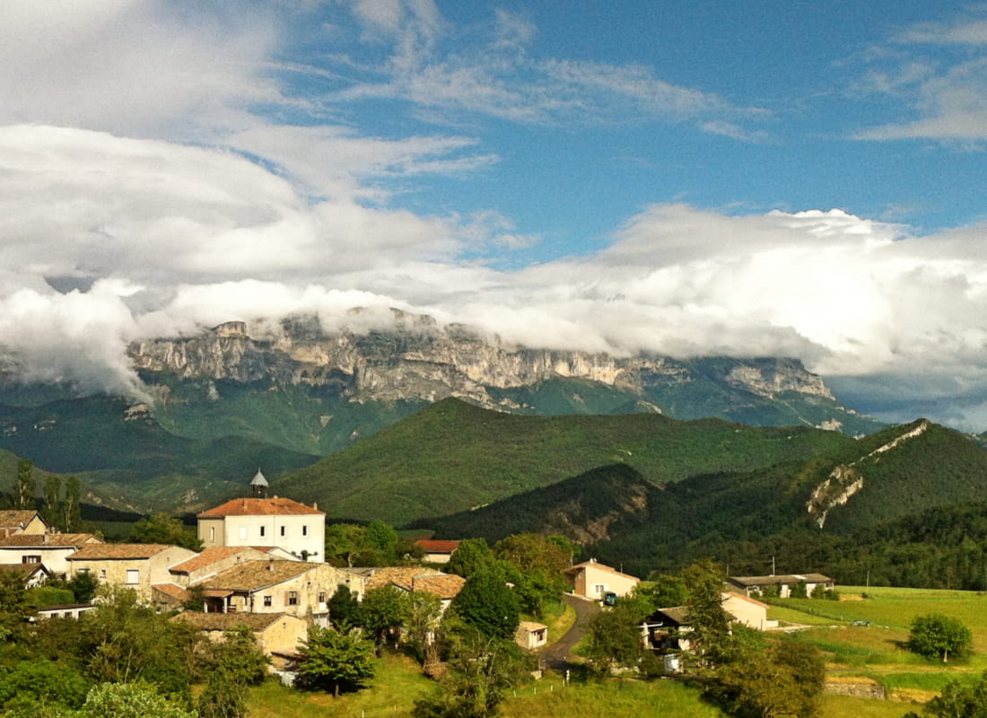
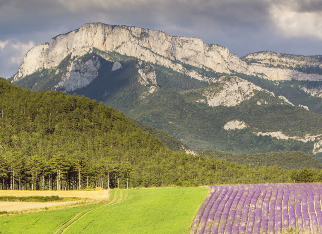
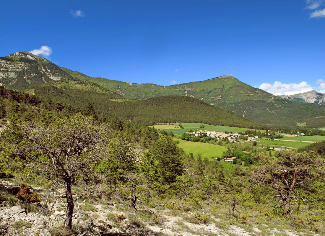
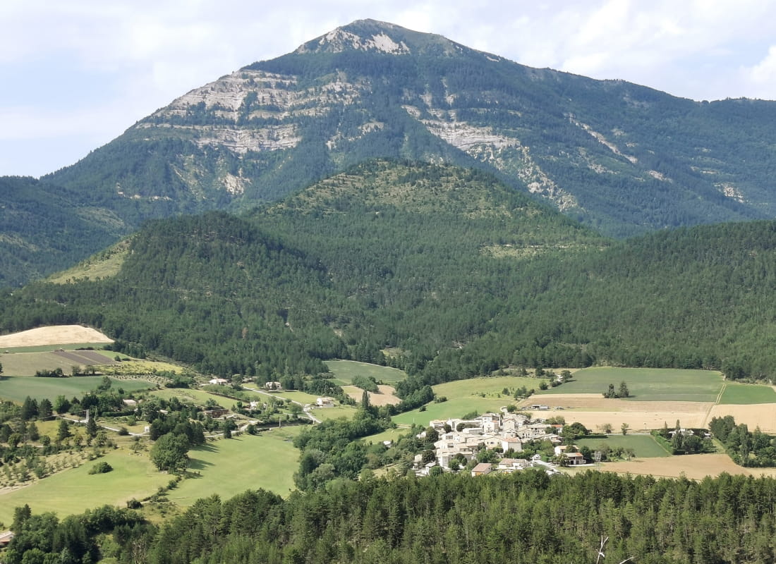
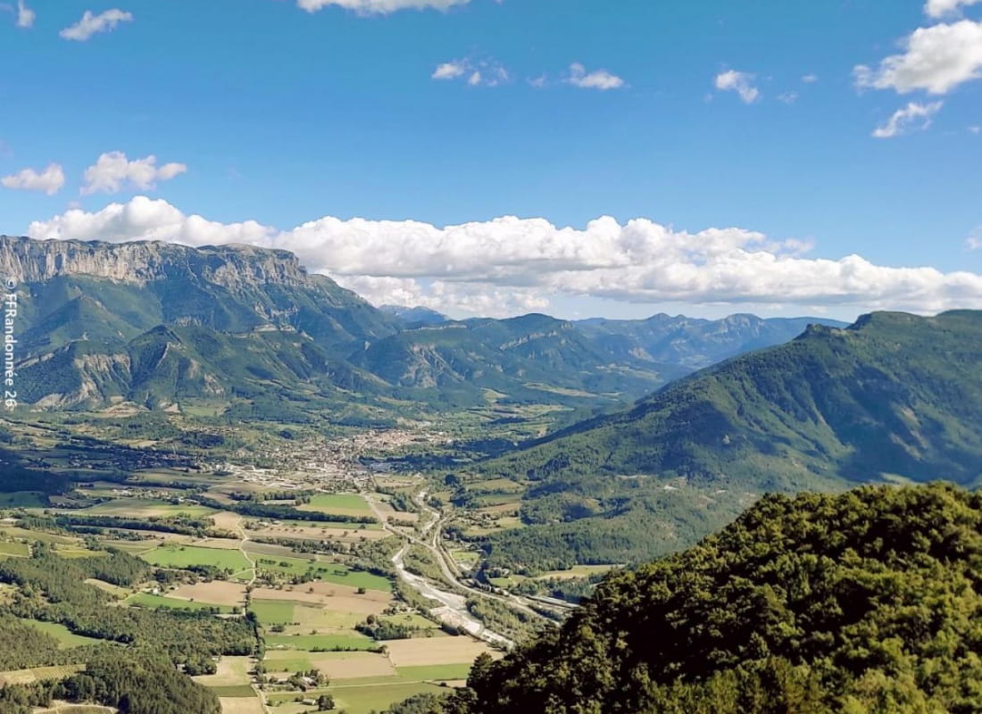
Starting from a charming village surrounded by vineyards and lavender fields, between the Vercors and the sparkling waters of the Drôme, the gleaming panoramas offered by this small summit are worth all the gold in the world.
- AddressMairie
26150 Ponet-et-Saint-Auban - Phone04 75 22 03 03
- Emailcontact@diois-tourisme.com
- WebsiteSee the website
Our tips
- Details about route marking :
Balisage jaune et vert (PR) et poteaux de signalétique directionnelle. - Difficult stretches :
Parcours en crête parfois exposé, mais jamais vertigineux. - Références topographiques :
Topoguide "Le Diois à pied - Aux sources de la Drôme" de la Fédération Française de Randonnée.
Carte Vercors-Diois du PNR Vercors - Map references :
TOP 25 IGN 3237
Drôme Tourisme cannot be held responsible for any problems encountered along the route.
Any problems encountered can be outlined here:
Author: Conseil Départemental de la Drôme - Apidae Tourisme
To show the map
0M
0M