Les crêtes des Ruelles
Ajouter au carnet de voyage
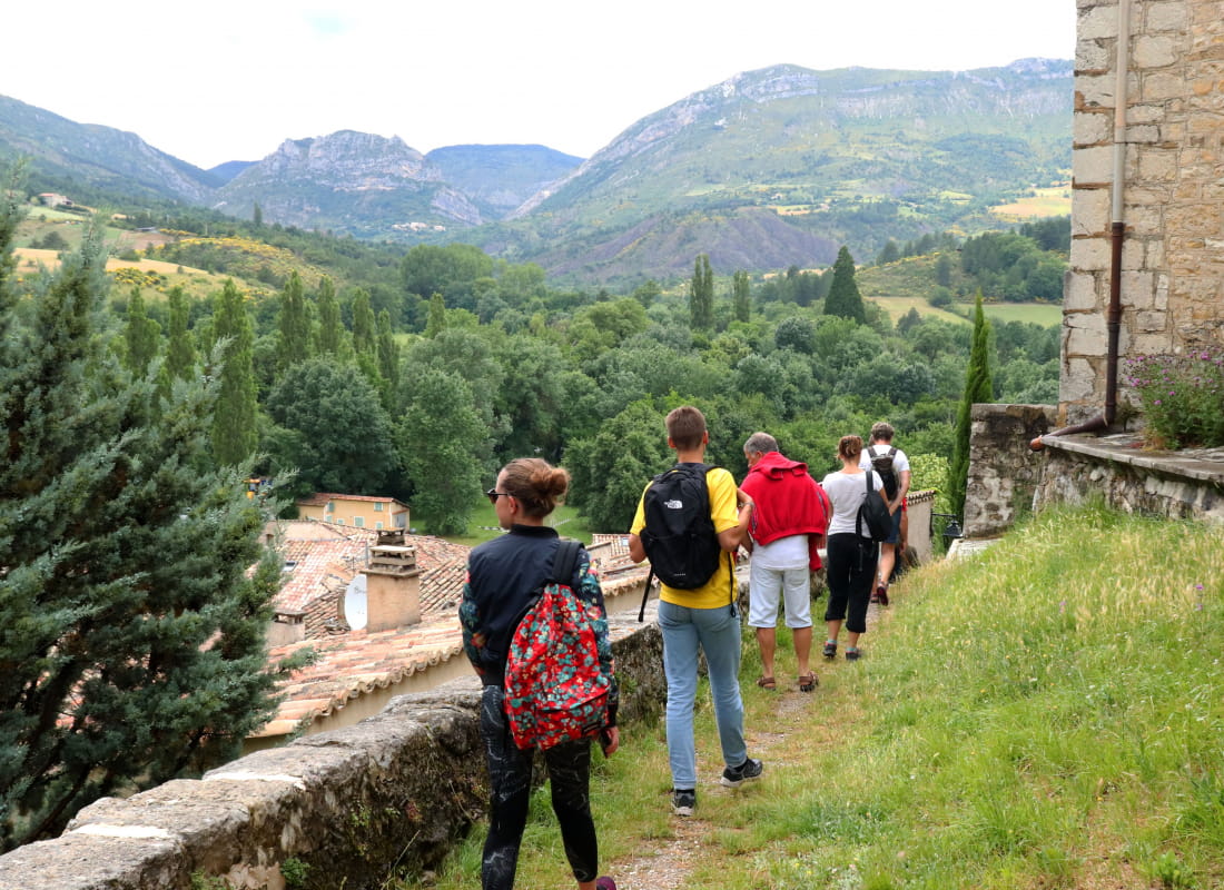
- Distance13,1 km
- Duration5h13
- TypeCircular
- DifficultyVery difficult
- Total altitude change+ 860 m
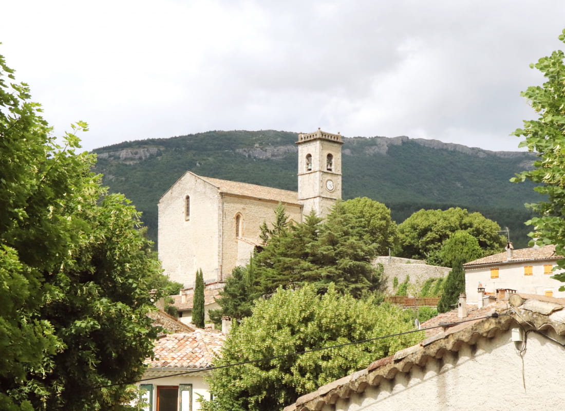
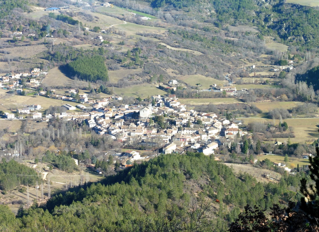
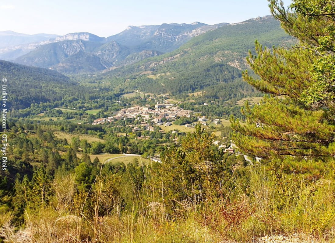
- Departure/arrivalLa Motte-Chalancon
- Route markingYes
Between the Vercors to the north and the Baronnies to the south, we glide over this small plateau, which asserts its Provence identity with its dry-stone walls, apricot trees and lavender, overflown by vultures and light aircraft from the unlikely a...
- Address26470 La Motte-Chalancon
- Phone04 75 22 03 03
- Emailcontact@diois-tourisme.com
- WebsiteSee the website
Our tips
- Details about route marking :
Balisage jaune (PR). - Difficult stretches :
Montée accidentée entre la crête des Ruelles jusqu'au pas de Pousterlou. - Références topographiques :
Topoguide "Le Diois à pied - Aux sources de la Drôme" de la Fédération Française de Randonnée - Map references :
TOP25 IGN 3138
Drôme Tourisme cannot be held responsible for any problems encountered along the route.
Any problems encountered can be outlined here:
Author: Conseil Départemental de la Drôme - Apidae Tourisme
To show the map
0M
0M