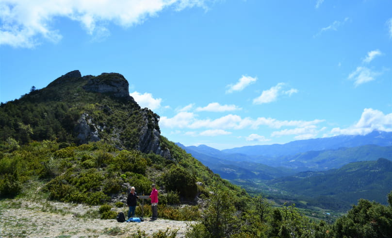
Les quatre cols
These passes used to be busy crossing points linking the towns and villages of the Baronnies. At the beginning and end of the loop, you'll pass the 14th-century Romanesque chapel of Saint-Jean-Baptiste, built on a rocky outcrop. You'll also pass by the former Fournache sheepfold, a maquis camp during the fiercest battles against the Nazis in 1943 and 1944.
Departure point: Drive through the village of Bénivay-Ollon, parking at the end of the tarmac road (D347), at the picnic area at the ford of the Eyguemarse (471m on IGN).
1. From the parking lot, cross the stream and take the main track on the left towards Col de la Vôte. This runs alongside the stream.
2. At the fork 200m further on, turn right towards Col de la Vôte. Follow for 3.5 km.
3. You reach the Col de la Vôte (701m). Take the second track on the right towards Col des Lantons, following the GR9 signposts. Follow for 1.8 km.
4. You reach the Col des Lantons (726m). Take the second track on the right towards the Lantons ruins.
5 From the Lantons ruins (740m), 300 m further on, turn right towards the Col de Linceuil (GR9 markers). This is the Seaumes path.
6. At the crossroads, leave the track and turn left onto a steep uphill path, following the GR9 markers.
7. 50 m below the Col de Linceuil (893m), take the track to the right without going as far as the col. Leave the GR9 markers and follow only the yellow markers.
8 . After 600m, you reach the Col de la Posterle (895m), which offers a fine view of Mont Ventoux. Climb 5 minutes to the right to reach altitude 912m, and you'll have a very wide, beautiful view. Return left and take the steep, stony path down to Beauvoisin.
9. You reach a track which you take on the right as you descend.
10. After 700 m, join the road, which you take to the right. At the farm, take the left-hand road. Go round the hamlet of La Bâtie at the bottom. At the fork in the road leaving the hamlet, turn left downhill.
11. Join the main road 200m further on. Turn right as far as Beauvoisin. Drive through the village. As you leave the village, stay on the main road, which curves round a few bends, passing between houses.
12. At the end of the last bend (alt. 590m on IGN), leave the road and take the left-hand track uphill.
13. You reach the Col de la Croix (781m). Continue straight ahead on the track (heading north-west).
14. At the second hairpin turn right. 200m further on, at the fork in the road, turn left. You'll pass over the top of a field.
15. The road becomes a track. In a hairpin bend, near a farm, turn right, staying on the road. The road descends to the Eyguemarse ford and leads back to the parking lot.
- Address26170 Bénivay-Ollon
Drôme Tourisme cannot be held responsible for any problems encountered along the route.
Any problems encountered can be outlined here:
Author: Conseil Départemental de la Drôme - Apidae Tourisme

